Farming with drones
/This is the first instalment of a weekly technology article from local business, Watson Computers. Keep an eye out on all the latest in the technology world here on Everything Geraldton!
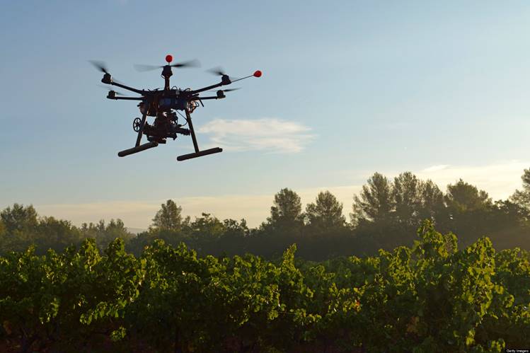
Otherwise referred to as Unmanned Ariel Vehicles (UAVs), Drones, which were previously used by military forces for reconnaissance, are making their way into WA's agricultural industry.
This new technology stands to revolutionise many farming and agricultural practices. This is owing to the drone's advanced flight capabilities, by utilising Global Positioning Systems (GPS), long range wireless communication, accelerometers, gyros, magnetometers, pressure sensors and complex computer algorithms allowing autonomous flight.
The flight autonomy and agility of these drones (as seen here: http://www.youtube.com/watch?v=w2itwFJCgFQ) enables drones to carry out tasks that were previously impossible for traditional fixed wing model aircraft.
So what do they actually do?
With the combination of high resolution cameras, GPS and some computer smarts back at the farm office, drones are able to follow structured flight plans to provide images that can be automatically stitched back together forming an up to the minute aerial survey of a property. In comparison to satellite imagery, drone images offer cheaper, higher resolution images that are unobstructed by cloud.
Drones allow farmers many new methods of viewing and monitoring crops. Viewing a crop from the air can make everything apparent, from irrigation problems to soil variation and even pest and fungal infestations that are not visible from the ground. A drone can also be scheduled to survey a crop at regular intervals. This data can be collected and compiled into an animation that can show changes in the crop, offering opportunities to address issues before they take hold of the crop.
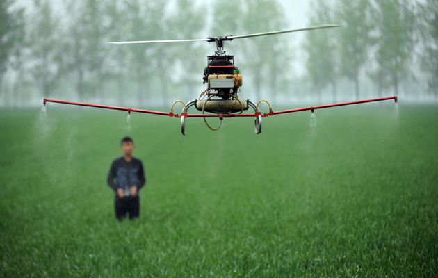
The next generation of drones are already being developed to carry chemical tanks for GPS-controlled spot spraying or spectral subsoil imagery, alleviating the need for a ground sled to collect information.
Where will all this data go ?
Drones are capable of generating masses of data, all the data collected needs compiling, structuring and storing. This is driving a significant increase in the use of information technology in agriculture. Where there was once pen, paper and filing cabinets, there is are now laptops, servers and data centres.
As with many other industries, wherever there large amount of data there is opportunity for the next ground breaking app. Over the next few years software and application developers will find new and innovative ways to utilise drone data.
Written by Watson Computers